


 Преглед в реален мащаб
 Изпрати
 Сподели
 Детайли
 Ръководство

 Изтегляне
 Подобни артикули
 Рентгенова снимка
 Слайдшоу
 Q&A
Q&A Статистика
Mantoüe

 Прочети повече
Жикле / Художествен принт
Giclée печат или принт върху платно с музейно качество, бързо производство и гъвкави опции за завършен вид. ( Купете ръчно рисувана картина Превключване към дигитално изображение)
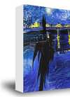
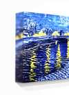
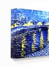
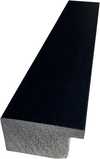
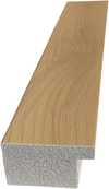
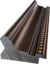
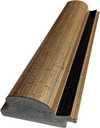
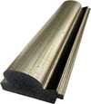
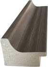
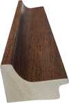
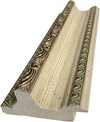
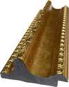
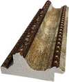
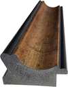
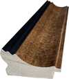
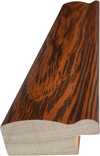
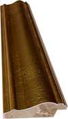
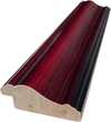
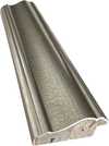
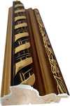
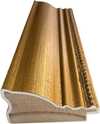
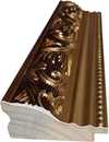
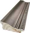
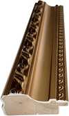
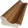
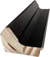
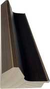
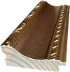
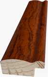
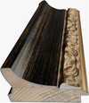
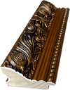
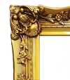
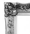
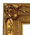
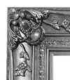
Изберете от нашите предварително зададени размери, които съответстват на оригиналните пропорции на произведението.

Въведете необходимата ширина и височина, за да паснат на вашата рамка или стена. Принтовете могат само да се изрязват, но никога не могат да бъдат по-големи от оригиналната картина, така че при размер с различен формат част от изображението ще бъде загубена. Преди да започнем печат, ще ви изпратим дигитален мок업 за одобрение. Изображението, показано на тази страница, не показва реалното изрязване — само мок업ът го показва.
Доставка по целия свят () в рамките на 2 седмици вместо стандартните 4/5 седмици. (2 Ноември)

Безплатна експресна доставка по целия свят

Висококачествено ленено платно

Пълно застраховане на доставката

Гаранция за възстановяване на митнически такси

Гаранция за пълно съответствие на цветовете

Политика за връщане в рамките на 100 дни (само при дефекти)

100% Гаранция за връщане на сумата

Оферта за отстъпка при поръчка на повече бройки
 Опцията със стъкло е налична само за размери под 110 см

Mantoüe
Жикле / Художествен принт
Размер на репродукцията
-


Обща цена
€ 57
Въпроси и отговори
Къде мога да намеря статистика за „Mantoüe“ на Nicolas de Fer?
Статистиката за „Mantoüe“ на Nicolas de Fer се намира на страницата Статистика на произведението: месечни посещения на творбата, посещения на произведенията на художника, както и разпределение на последните посетители по държава и език.
Колко наситени са цветовете в „Mantoüe“ на Nicolas de Fer?
„Mantoüe“ на Nicolas de Fer демонстрира Balanced интензивност на цветовете.
В кой музей се намира оригиналът на "Mantoüe"?
Оригиналът на „Mantoüe“ може да бъде видян в Biblioteca Teresiana, Mantua, Italy.
Подобни произведения


Биография на художника
The Cartographic Artistry of Nicolas de Fer
Nicolas de Fer, born in Paris in 1646, emerged from a family already steeped in the world of mapmaking. His father, Antoine de Fer, possessed a thriving cartographic business, and it was within this environment that young Nicolas’s fascination with geography and artistry began to blossom. Apprenticed at the tender age of twelve to the Parisian engraver Louis Spirinx, he honed his technical skills, laying the foundation for a career that would see him become one of France's most prolific mapmakers of the 17th century. However, de Fer’s path wasn’t simply about inheriting a trade; it was about transforming it into something uniquely his own—a blend of artistic flair and commercial ambition.
A Family Legacy and Rise to Prominence
The early years following his father's death in 1673 saw Nicolas assisting his mother, Genevieve de Fer, in managing the family firm. It wasn’t until 1687 that he assumed full control, a turning point that marked a significant shift in the business’s trajectory. While Antoine had focused on maintaining established routes and clientele, Nicolas possessed an entrepreneurial spirit, driving production and expanding the range of available maps. He quickly recognized the growing demand for visually appealing cartography, understanding that maps were not merely tools for navigation but also objects of decorative beauty. This insight would become central to his success.
The Aesthetic Over Accuracy: A Baroque Cartographic Style
De Fer’s work is often characterized by a prioritization of quantity over absolute geographical precision. While he produced hundreds of maps and atlases, they frequently contained errors—a consequence of relying on existing sources rather than conducting original surveys. This wasn't necessarily a flaw in his approach; it reflected the artistic sensibilities of the Baroque period, where ornate detail and aesthetic appeal were highly valued. His maps are lavishly decorated with elaborate cartouches, allegorical figures, and vignettes depicting scenes from around the world. L’Atlas Curieux, one of his most celebrated works, exemplifies this style—a testament to the decorative arts that flourished during his time. The detailed depictions of cities, churches, palaces, and gardens were more about conveying a sense of place and wonder than providing precise navigational information.
Royal Patronage and Lasting Influence
De Fer’s reputation for producing beautiful and commercially successful maps eventually led to royal recognition. He was appointed official geographer to both King Louis XIV of France and King Philip V of Spain, a testament to the prestige his work had attained. This patronage further solidified his position within the cartographic community and allowed him to expand his business even further. After his death in 1720, the firm passed into the capable hands of his sons-in-law, Guillaume Danet and Jacques-Francois Benard, who continued to produce maps under the de Fer name for several decades. His legacy extended beyond his own lifetime, influencing a generation of cartographers and solidifying the role of mapmaking as both a scientific endeavor and an artistic pursuit.
A Lasting Impression on Cartographic History
Nicolas de Fer’s contribution to cartography lies not in groundbreaking discoveries or unparalleled accuracy but in his ability to popularize maps and transform them into desirable objects. He understood the power of visual storytelling, using elaborate decoration and detailed illustrations to captivate audiences and convey a sense of global awareness. While modern scholars may critique the geographical inaccuracies present in his work, it’s important to remember that de Fer operated within a specific historical context—a time when artistic expression was often prioritized over scientific precision. His maps remain valuable today not as navigational tools but as fascinating artifacts of the Baroque period, offering insights into the cultural values and aesthetic sensibilities of 17th-century Europe. His work serves as a reminder that maps are not simply representations of the world; they are also reflections of the societies that create them.

Nicolas de Fer
1646 - 1720 , France
Бърза информация
- Full Name: Nicolas de Fer
- Nationality: French
- Date Of Birth: 1646
- Date Of Death: 1720
- Place Of Birth: France
- Notable Artworks:
- Mantoüe
- Petit et Nouveau Atlas
- Artistic Movement Or Style: Baroque
- Artists Who Influenced This Artist: ['Louis Spirinx']
- Artists Or Movements Influenced By This Artist:
- Nicolaus Copernicus
- Giovanni Cassini